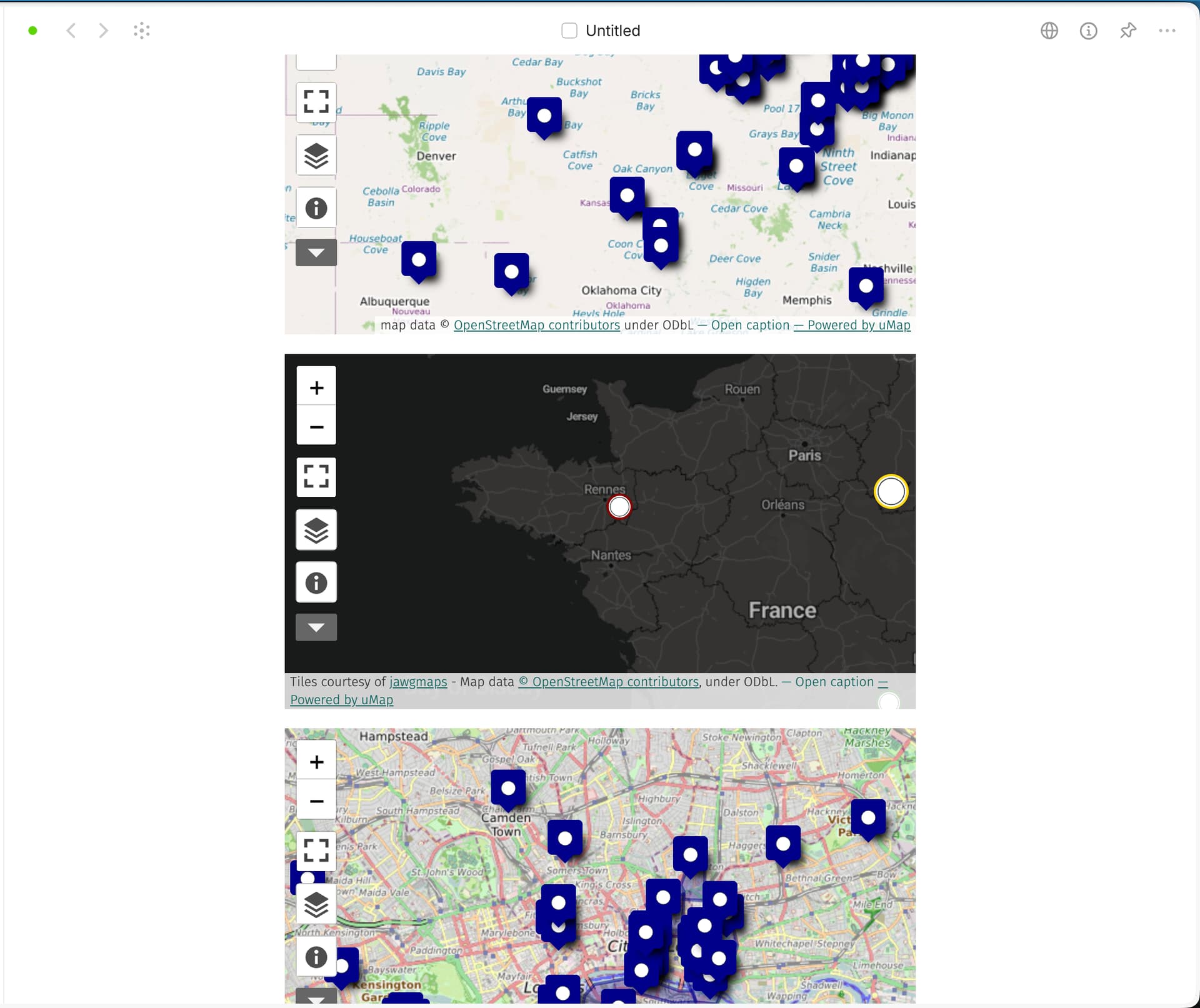
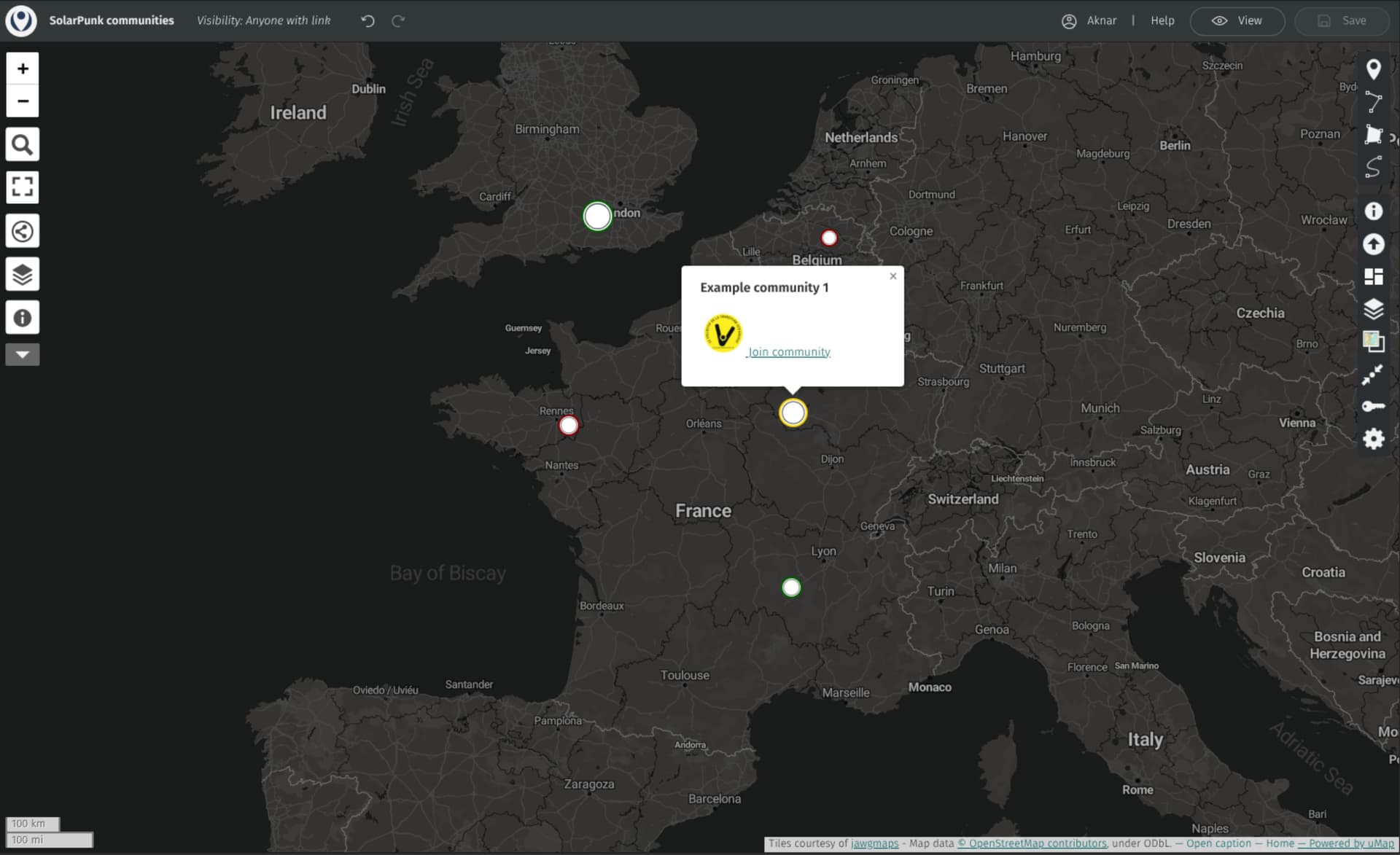
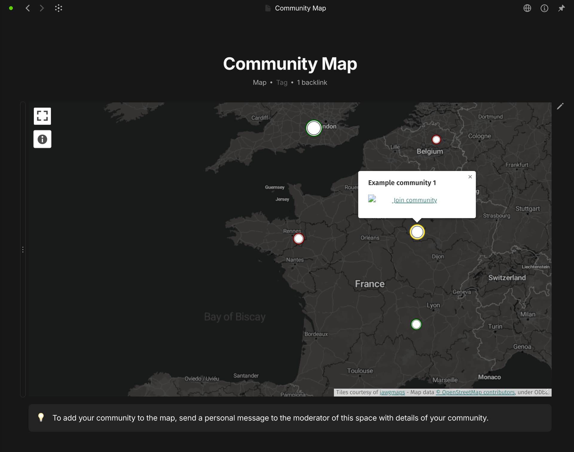
I can’t manage to display a map in the integration. What format does it expect? It doesn’t give a single error message that would inform me as to what it doesn’t like.
I tried uMap share link and HTML as i’m trying to make a custom map but that doesn’t display anything, I suppose that isn’t supported but that seems like a major overlooked usecase.
I tried OpenStreetMap short, long and HTML links but to no avail. So what am I missing?
What can this integration do and what are it’s shortcomings, there’s not much out there that lets us know how to use it.
OS
linux x64 6.17.9-300.fc43.x86_64
Anytype Version
v0.51.2
Network Mode
AnySync
Technical Information
OS version: linux x64 6.17.9-300.fc43.x86_64
App version: 0.51.2
Build number: build on 2025-11-26 12:55:21 +0000 UTC at #82ca0375a851dc42a3dd0c1e5fe7aca0cec09efe
Library version: v0.45.6
Anytype Identity: AA8AbGPgpqjh7W9jPph8pQRAjDWq3gTeUjgcYX4wTyHf5m8v
Analytics ID: 40272dee-0acc-4c10-92fc-e09eee485952
Device ID: 12D3KooWMu2LZPvMK99aGGUdLTzTVZgz631nBj4ssaPnUWqjUBzz
Ethereum Address: 0xc92F58754cbd52F087b4a1c9B1Bf04baF57e7de6
I can now display a map but how about pins, polygons, … Umap doesn’t seem to be supported. I suspect none of this was added to the integration but in that case I have to admit i’m at a bit of a loss here as to what this integration offers more than a image. The point of having an interactive map is to be able to interact with it, is it not? The ability to pinpoint a location and pin notes seems to me like core features of an interactive map (being able to input a Umap link would resolve this)
These are tests, I’ll have a lot more to add and change, just want to know what’s the general rule for which images linked to what domain can be displayed